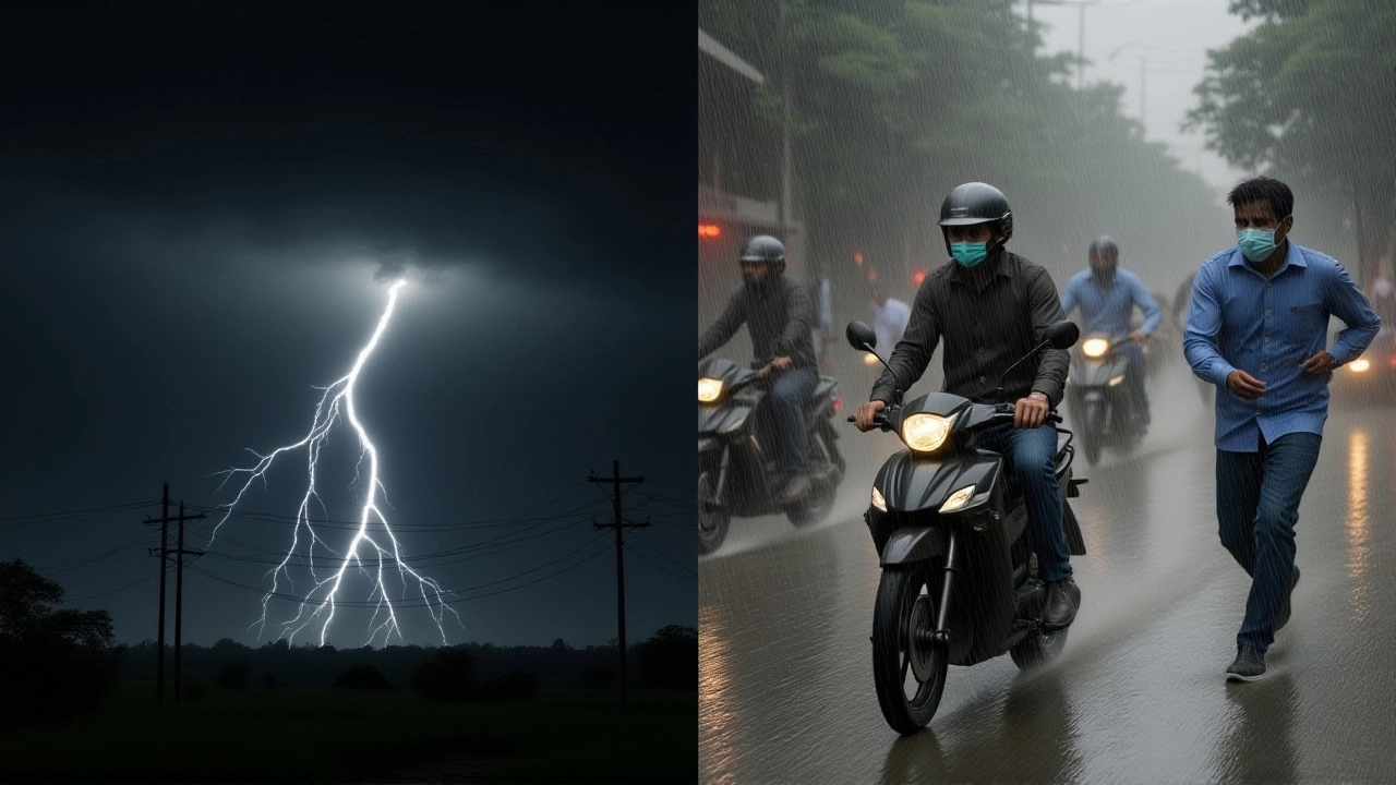
When India Meteorological Department slapped a red alert across Punjab on October 6, 2025, residents barely had time to finish their morning chai before the sky turned hostile. The department warned of thunderstorms, lightning and rain that could shatter local records, putting millions at risk of flash floods and sudden temperature swings.
The alert, effective from 09:21 IST to 12:21 IST, covers nine districts – Mansa, Bathinda, Fazilka, Sri Muktsar Sahib, Faridkot, Firozepur, Tarn Taran, Amritsar and Gurdaspur – and is part of a larger, unprecedented weather system sweeping north‑India.
“We are observing a very unique convergence of three powerful systems,” said Dr. R. K. Singh, Director General of the India Meteorological Department. “If the models hold, we could see more than 21 cm of rain in a single day, something we haven’t recorded in recent history.”
Why the Weather is Unusual: A Triple Threat Convergence
Three distinct atmospheric players have teamed up like reluctant allies in a high‑stakes drama:
- Western Disturbance – a low‑pressure system that moved into northwest India on Saturday, pulling moist air from the Arabian Sea and the Bay of Bengal.
- A deepening low‑pressure over the Northeast Arabian Sea, which is feeding additional moisture into the western flank of the country.
- A second depression strengthening near the Bay of Bengal, acting as a reservoir of tropical humidity.
When these three collide, the result is a rare circulatory pattern that forces colossal water vapor into Punjab and neighboring states. Meteorologists compare it to a bathtub that’s suddenly tipped, spilling water all over the floor.
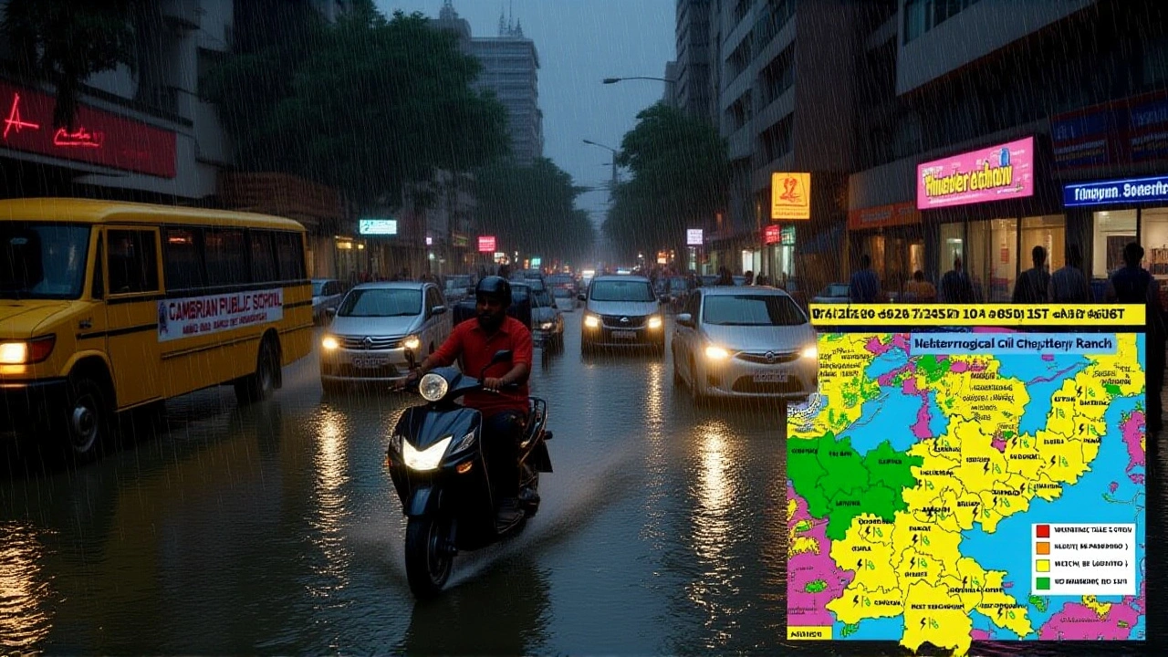
According to the IMD’s Red Alert Issued for PunjabPunjab, the most intense rainfall is expected on Monday, with a gradual tapering off by Wednesday.
Districts Under Red Alert and Immediate Safety Measures
Among the hot‑spot districts, Amritsar and Bathinda are likely to feel the brunt first, given their low‑lying terrain and limited drainage capacity.
Local authorities have rolled out a checklist for residents:
- Stay indoors once lightning is observed.
- Unplug electrical appliances to avoid surge damage.
- Avoid open fields and tall structures that attract lightning.
- Keep mobile phones charged for emergency alerts.
- Stock up on drinking water, non‑perishable food and basic medicines.
The Punjab State Disaster Management Authority (PSDMA) has positioned rescue teams at strategic points, especially near riverbanks and low‑lying villages where waterlogging could turn dangerous within hours.
“We urge people not to panic but to act responsibly,” said a PSDMA spokesperson, who asked to remain unnamed. “If you hear a thunderclap, head inside immediately and avoid standing near metal objects.”
Potential Impacts: Floods, Temperature Drop, and Agricultural Concerns
Punjab has already logged a 41 % excess of monsoon rainfall this season. Add another 21 cm in a day, and you’re looking at a recipe for flash floods that could swallow roads, fields and homes.
Farmers, who make up a sizable chunk of the population, are being told to postpone sowing and avoid working in muddy fields until the water recedes. The timing is cruel – the monsoon’s tail end is supposed to taper off, giving crops a chance to dry before harvest.
Beyond the water, a sharp cold snap is looming. Forecasts show minimum temperatures dropping 4‑5 °C between October 8 and 10 as north‑westerly winds sweep in from the Himalayas. Ludhiana, usually basking in 23‑35 °C during this month, could see night‑time lows approaching 18 °C.
Such a temperature swing can stress crops that are still in the field, potentially affecting wheat yields. It also means a sudden rise in heating demand, which could strain power grids already coping with storm‑related outages.
Response from Authorities and Disaster Management
State government officials have activated the National Disaster Response Force (NDRF) for rapid rescue operations, particularly in districts where river levels are edging close to danger marks.
“Our teams are on standby with boats, inflatable pumps and medical kits,” said Anita Sharma, Director of the Punjab Emergency Services. “We’re coordinating with local police, the army and community volunteers to ensure a swift response if flash flooding occurs.”
Meanwhile, the IMD is updating its nowcast every 30 minutes, feeding data to mobile apps, radio stations and social media channels. The department’s earlier warning about “possible hailstorms” is still on the table, though hail has not yet been reported.
Schools in high‑risk zones have been advised to close for the day, and public transport routes near flood‑prone bridges are being rerouted. The Department of Public Works is inspecting culverts and drainage channels ahead of the expected deluge.
What This Means for the Rest of North India
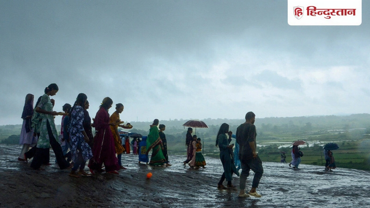
The same triple‑system set‑up is nudging moisture into Himachal Pradesh, Haryana, Chandigarh and even parts of Rajasthan. While Punjab bears the brunt, nearby states are not immune to heavy rain, gusty winds and a sudden dip in temperature.
Experts warn that the delay in monsoon withdrawal could have a cascading effect, extending the rainy season into October and squeezing the already tight window for harvest in the Indo‑Gangetic plain. “If the rains linger, we could see a ripple through food markets, with price volatility in grains,” noted Prof. Sunil Mehta, climatology professor at Panjab University.
In the longer view, climate scientists say that such extreme convergence events may become more frequent as the planet warms, making robust disaster preparedness a non‑negotiable priority for the region.
Frequently Asked Questions
How will this rain affect farmers in Punjab?
Heavy rain could water‑log fields, delaying sowing and potentially harming wheat that is close to maturity. The state is urging farmers to postpone field work and offering emergency irrigation support where possible.
What safety steps should residents take during the thunderstorms?
People should stay indoors, avoid open fields, unplug electronics, keep phones charged for alerts, and stock essential supplies. If lightning strikes nearby, seek shelter immediately and stay away from tall metal structures.
Why is the temperature expected to drop after the rains?
The influx of cool, moist air from the northwest, driven by the departing Western Disturbance, will replace the hot, dry wind prevailing in October. Forecasts show night‑time lows falling 4‑5 °C between October 8 and 10.
Which other states might see similar weather impacts?
Himachal Pradesh, Haryana, Chandigarh and parts of Rajasthan are also under watch for heavy rain and gusty winds. Local authorities in those areas have issued yellow alerts and are preparing contingency plans.
What does a “red alert” mean for the public?
A red alert signals an extreme weather event with high potential for damage and loss of life. It triggers emergency response mobilization, stricter safety advisories and continuous monitoring by the IMD and disaster agencies.
Written by Zander Lockhart
View all posts by: Zander Lockhart